Case study | Geographic Information Systems
Belleville Parks Master Plan

Details
Owner
City of Belleville, Illinois
Client
City of Belleville, Illinois
Project Cost
$50,000 (Study Fee)
Status
Completed April 2008
Summary
Kaskaskia Engineering Group, LLC (KEG) prepared a Park, Open Space, and Greenway/Trails Plan for the City of Belleville which expressed the community’s vision, needs, and priorities for leisure space, services, and facilities. This document currently serves as a guide for local policy formulation and a plan for upgrading parks and trails.
Project
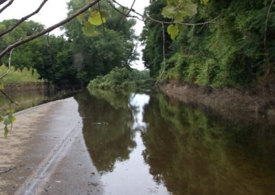
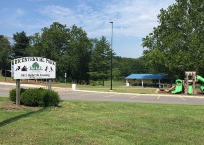
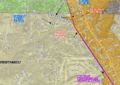
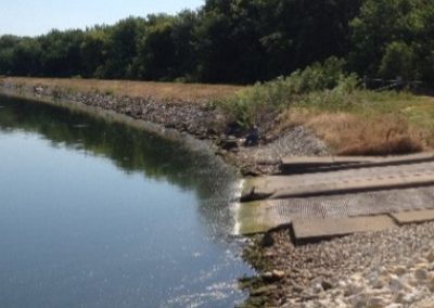
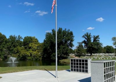
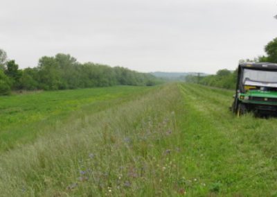
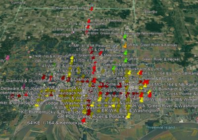
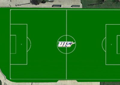
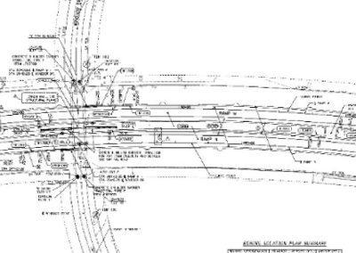
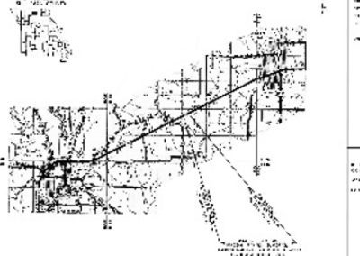
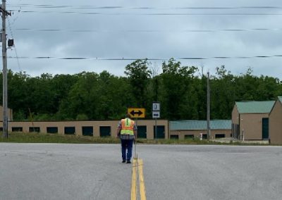
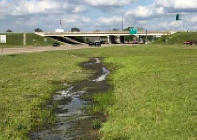
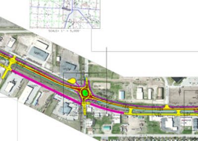
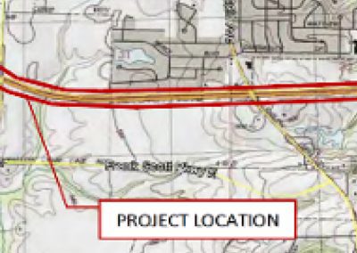
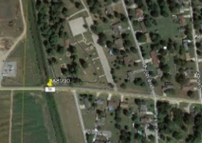
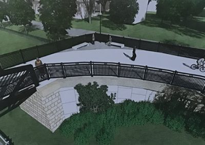
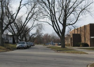
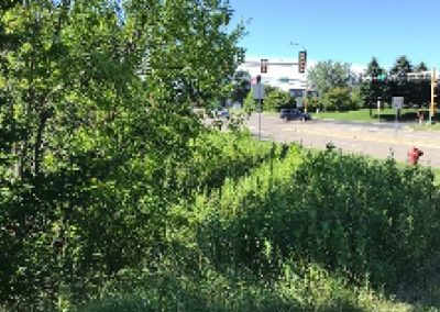
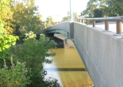
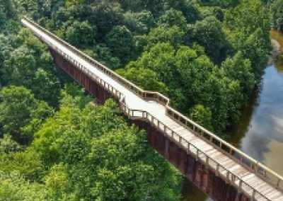
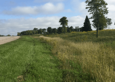
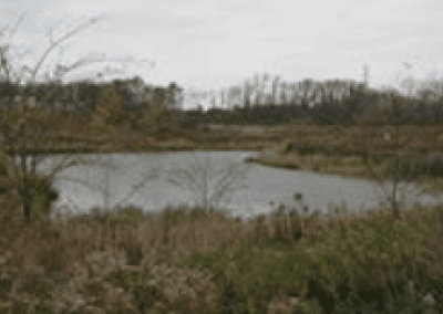
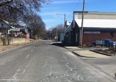
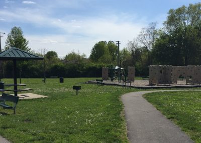
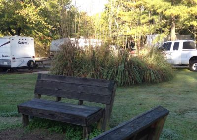
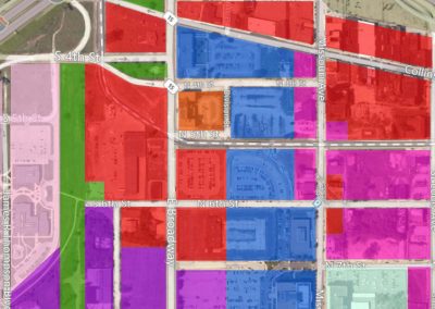
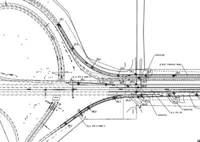
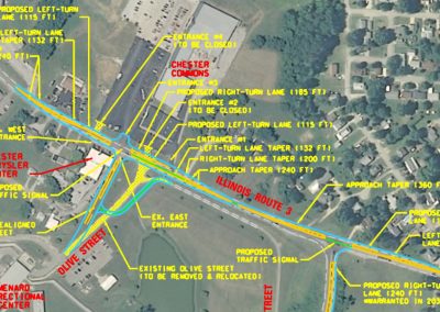
Using GIS mapping, KEG developed a comprehensive inventory of each existing park and recreation facility within the City of Belleville and within a one-mile radius surrounding the City. Private parks, trails, and significant private recreation areas were also inventoried. The inventory recorded information relative to accessibility, acreage, site characteristics, facilities utilization, and immediate maintenance needs. A GIS map utilizing parcel-based information provided by the City was prepared and layered to indicate the different types and classifications of parks and trail facilities. Mapping also indicated significant natural/open space areas, such as floodplains and wetlands, which have the potential for recreational use or may be suitable for the development of a trail and greenway system. GIS was also used to identify large tracts of land to be utilized for a proposed 100+ acre park.
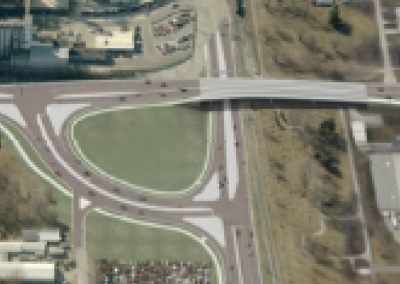
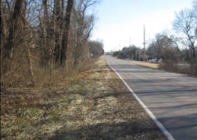
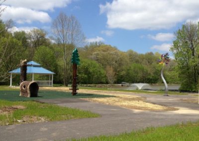
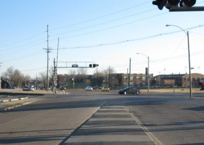
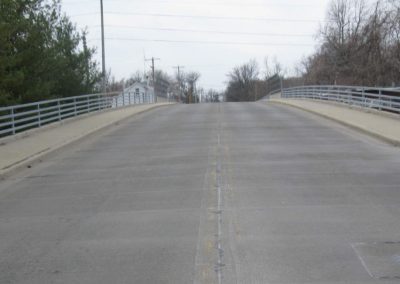
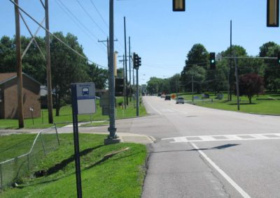
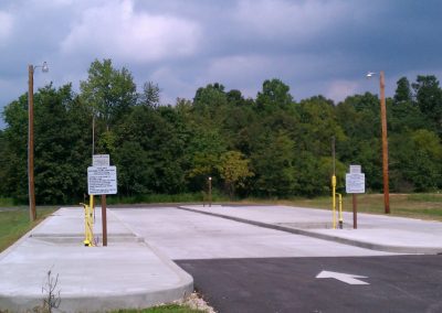
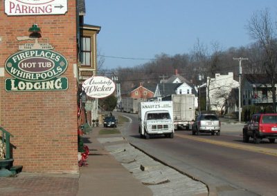
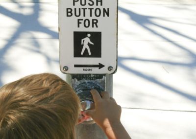
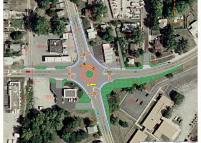
Based on the findings of the data, additional recreational facilities to meet the needs of residents, tourists, and visitors, and a network of bicycle and pedestrian routes linking city parks, schools, and activity centers were recommended. The bicycle trail plan incorporated future connections with regional existing and proposed trails. The master park plan included streetscape work for the entrance of parks, lighting, landscaping, and pedestrian facilities. Traffic calming measures were employed to integrate vehicle, bicycle, and pedestrian needs at parks adjacent to heavy traffic roadways.
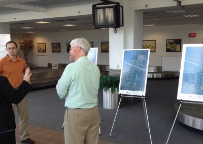
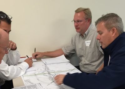
Our approach to the planning and design process was to achieve a balance between the benefits and opportunities of facilities and the cost of their development and operations. This was accomplished by involving stakeholders including residents of Belleville, members of a selected Parks and Recreation Advisory Board, and elected City officials throughout the planning process. Input from the public (gathered from public information meetings, interactive website surveys, citizen groups, small group workshops, and leisure surveys) and from Parks and Recreation Department staff was received and assimilated by the team and translated into recommendations for the acquisition of land, improvements to existing facilities, and development of new facilities. A financing and implementation program was developed, including a capital improvements program, and a draft version is presented to all stakeholders prior to the formal adoption process.