Case study | Environmental Science
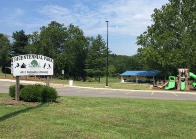
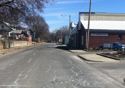
Strother Road Individual Permit

Details
Owner
City of Lee’s Summit, Missouri
Client
Crawford, Murphy & Tilly Engineers, Inc.
Project Cost
$44 Million
Status
Completed May 2014
Summary
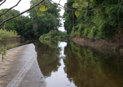
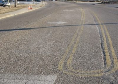
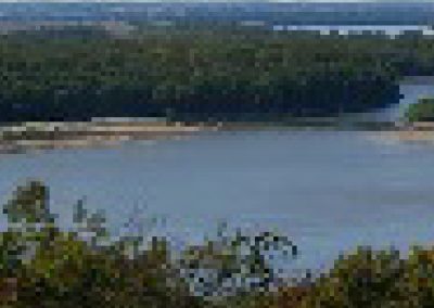
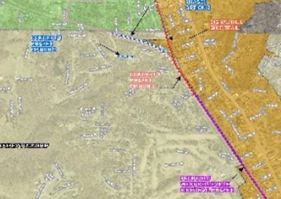
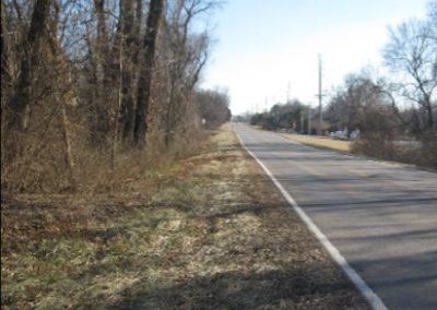
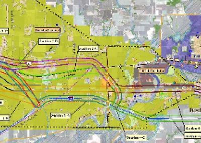
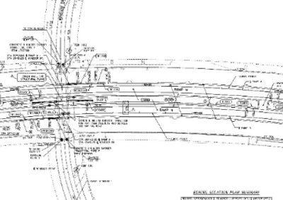
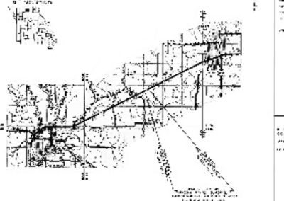
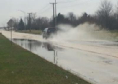
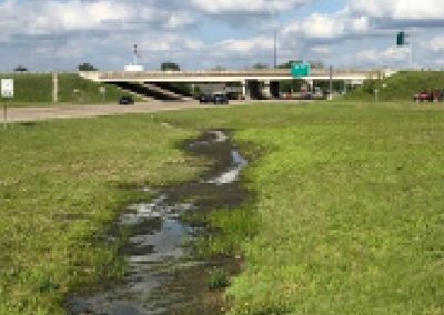
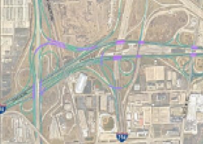
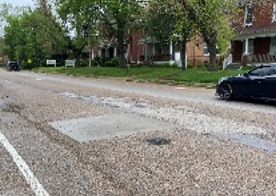
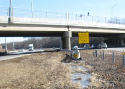
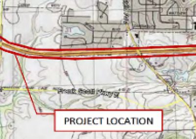
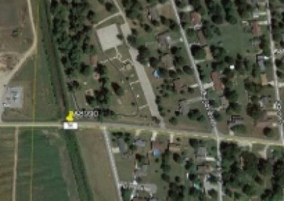
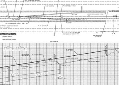
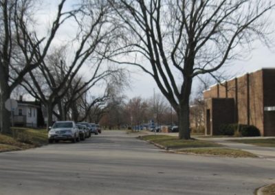
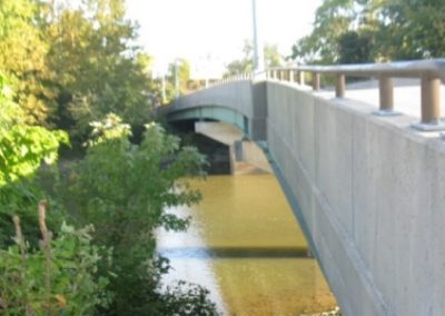
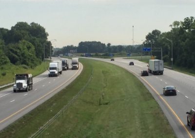
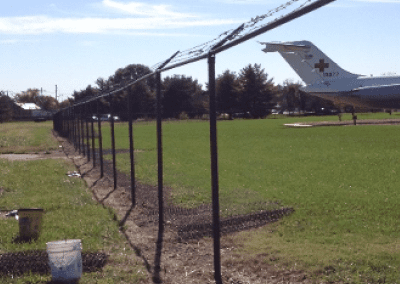
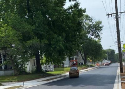
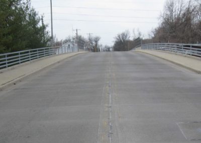
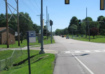
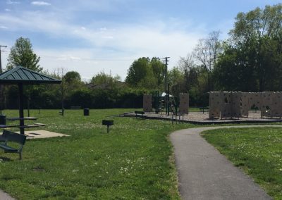
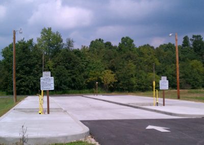
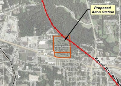
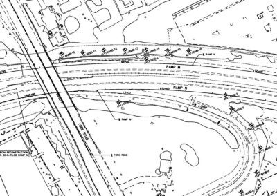
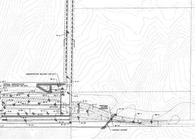
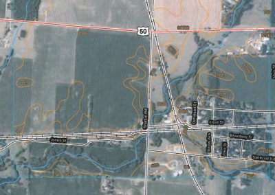
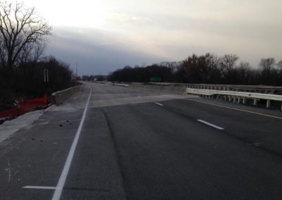
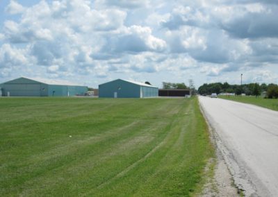
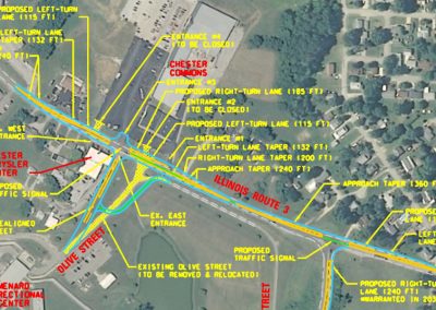
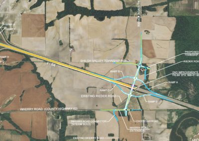
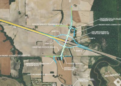
The City of Lee’s Summit, Missouri owns and operates the Lee’s Summit Municipal Airport. The Airport’s 2006 Thoroughfare Master Plan Study identified the need to extend the airport’s north/south runway. A portion of the existing roadway lies within the future Lee’s Summit Municipal Airport runway safety area (RSA) after the extension of this runway. The Strother Road realignment project includes the reconstruction of Strother Road (North 83rd Street) from Lee’s Summit Road to NE Manhattan Drive on a new alignment to the north of the existing road. Shifting the roadway alignment north moves the roadway outside of the RSA. The planned roadway realignment will have several crossings that impact the Waters of the U.S. The airport runway extension and work associated with the required RSA may also impact a Waters of the U.S.
Project
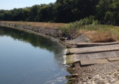
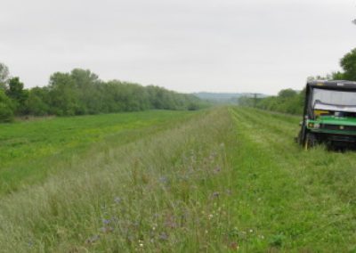
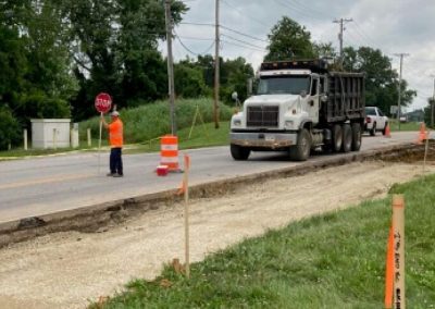
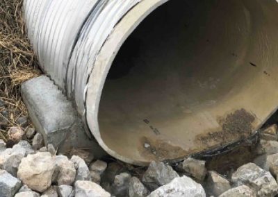
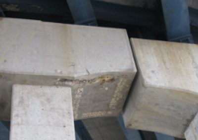
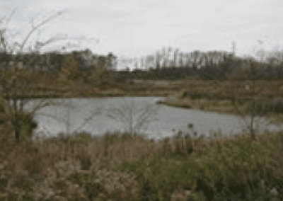
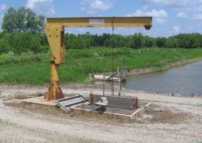
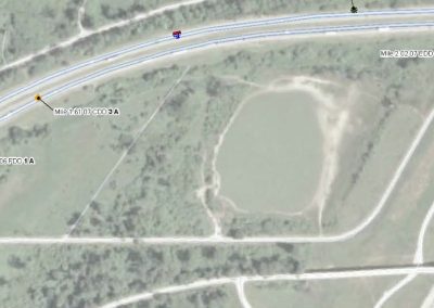
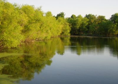
Based on the information provided by the City of Lee’s Summit and pre-coordination with the U.S. Army Corps of Engineers (USACE), it was acknowledged that the realignment for Strother Road and future airport runway extension will require a Joint Section 404 Individual Permit (IP) by the USACE. For this IP, two ponds were proposed to be filled, both of which consisted of littoral jurisdictional wetlands and open waters of the U.S. Due to jurisdictional wetland impacts, mitigation was required.
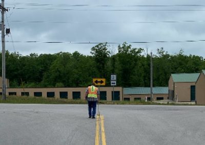
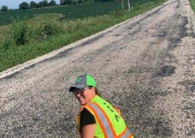
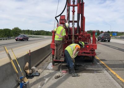
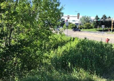
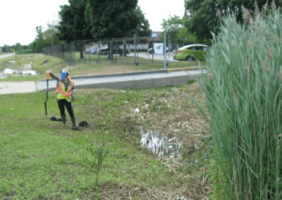
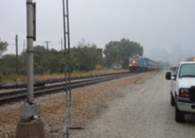
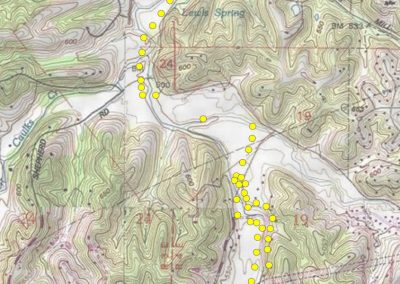
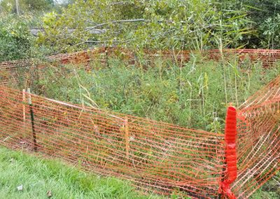
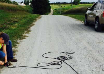
Kaskaskia Engineering Group, LLC (KEG) was responsible for coordinating with the City of Lee’s Summit and the USACE Kansas City District Regulatory Office and submitting a Section 404 IP report and application. Wetland delineations were conducted during the growing season for the area of the proposed road realignment and runway extension. The delineation was conducted in accordance with the USACE 1987 Wetland Delineation Manual and subsequent guidance, including the 2010 Midwest Regional Manual. Wetland data sheets were completed for each potential wetland area. Delineated wetlands were drawn on mapping provided by the City of Lee’s Summit and areas were approximated based on these drawings. Photographs were obtained of all relevant site features.
KEG submitted the Joint Section 404 IP application to the USACE Kansas City District and Missouri Department of Natural Resources, and the permit was granted to the City of Lee’s Summit in May 2014 requiring mitigation.